Ancient city’s LiDAR scans reveal as many buildings as Manhattan
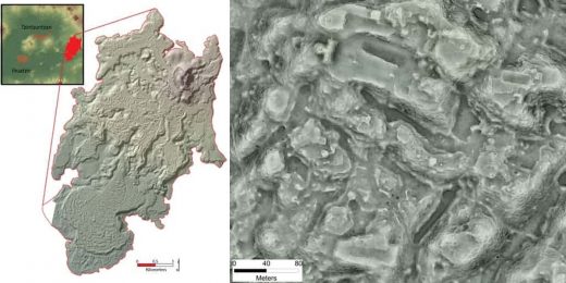
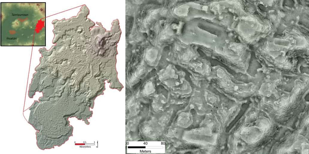
When researchers surveyed the ruins of a Purépecha Empire city in Mexico the old-fashioned way a decade ago, it took them two seasons to explore two square kilometres. Good thing they decided to use LiDAR, because the city called Angamuco turned out bigger than they previously thought. LiDAR gave the researchers the power to see underneath the lava that covers Angamuco. Thanks to the laser technology, they now know that the city occupied 26 square kilometers of land instead of 13 square kilometers. Colorado State University archaeologist Chris Fisher is presenting that finding and all the latest info on his team’s study at the ongoing American Association for the Advancement of Science conference in Austin.
“That is a huge area with a lot of people and a lot of architectural foundations that are represented,” Fisher told The Guardian. According to their estimates, the city had around 1,500 structures per square kilometer of land. “If you do the maths,” he added, “all of a sudden you are talking about 40,000 building foundations up there, which is [about] the same number of building foundations that are on the island of Manhattan.” Further, LiDAR also led to the discovery that the city had an unusual layout, with big structures like pyramids and open plazas situated around the edges rather than in the center.
The Purépecha people existed at the same time as the Aztecs. While they are nowhere near as popular as their rivals, they were still a major civilization and had an imperial capital called Tzintzuntzan in western Mexico. Based on the team’s LiDAR scans, though, Angamuco is even bigger Tzintzuntzan. It likely wasn’t as densely populated, but Fisher said it’s now the biggest city in western Mexico during that period that we know of.
The use of LiDAR (or light detection and ranging) is becoming more and more common in archaeology, since it allows researchers to scan large areas of land in mere minutes. It creates a 3D map of the landscape by firing a rapid succession of laser pulses at the ground from a plane. Those pulses can penetrate foliage and soil, enabling scientists to see what’s underneath them all without having to cut down a single tree. Earlier this month, for instance, a research foundation revealed that it found a vast Mayan megalopolis in the Guatemalan forest using LiDAR. They discovered 60,000 previously unknown structures hidden underneath centuries of growth, and they might find even more when they scan Guatemala’s lowlands in the future.
(28)


