Billboard-measuring Geopath enters the 21st century with new geolocation platform
Called Insights Suite, it updates the 75-year-old nonprofit organization’s previous methods that employed federal traffic data and surveys.

As those hulking static billboards have been replaced by bright and frequently changing digital signage, the out-of-home (OOH) market has seen a variety of vendors offer a range of platforms and techniques for measuring effectiveness.
This week, a 75-year-old nonprofit organization, Geopath, is releasing a new Insights Suite that is trying to bring more order to ad measurement in the great outdoors.
Founded in 1933 as the Traffic Audit Bureau for Media Measurement, the organization originally collected data by sending out people with clickers to count cars and passersby, by conducting surveys and by utilizing traffic data from the US Department of Transportation.
But the Department of Transportation only updates its data a few times a year, and clickers only get you so far. So, the organization rebranded as Geopath in 2016 and began a transformation that is typified by this week’s release.
Geopath president Kym Frank described Insights Suite as “game-changing” for the industry, in part because it makes the same location-oriented data available to everyone.
The data is captured from a variety of sources. These include software development kits (SDKs) on apps distributed by an outside vendor, SafeGraph. In exchange for free apps for weather and other functions, users agree to share their location data. Info also comes from surveys by Claritas, helping to indicate the interests, favorite TV shows and other attributes of specific neighborhoods.
Geopath also utilizes aggregate data from wireless providers and makers of connected cars, the latter of which supplies traffic volume, speed and roadway mapping. Frank said that no permission is needed for the wireless provider or car data because it is anonymized and only available as an aggregate.
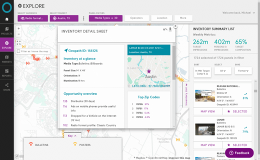
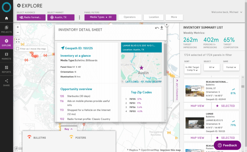
The Geopath platform creates hourly and daily readings of traffic, impressions and probabilistic likelihoods that dwellers in a given neighborhood block who recently visited a Starbucks, for instance, might also be walking by a given billboard or other signage. Here’s a screen shot from the platform:
Frank said that many of the recently launched ad-booking and ad-serving platforms for digital outdoor signs have started to employ Geopath’s Insights Suite in their efforts.
The new platform applies to both digital and static signs, on billboards, buses and bus stops, interior locations like subway stops and other venues. Soon, Frank said, the platform will include signs on mobile fleets, like taxicabs.
The previous legacy data is employed for calibration, she said, and, if any of the 250 member organizations — representing advertisers, sign inventory owners, agencies and media companies — have sensor information, Geopath will use it. Some sign companies, for instance, have started to employ small cameras for capturing passing traffic or pedestrians. But interactive data from responsive billboards, such as ones used in a recent campaign by National Geographic, is not currently ingested.
Marketing Land – Internet Marketing News, Strategies & Tips
(54)


