Customize Consent Preferences

We use cookies to help you navigate efficiently and perform certain functions. You will find detailed information about all cookies under each consent category below.

The cookies that are categorized as "Necessary" are stored on your browser as they are essential for enabling the basic functionalities of the site. ... 

Always Active

Necessary cookies are required to enable the basic features of this site, such as providing secure log-in or adjusting your consent preferences. These cookies do not store any personally identifiable data.

No cookies to display.

Functional cookies help perform certain functionalities like sharing the content of the website on social media platforms, collecting feedback, and other third-party features.

No cookies to display.

Analytical cookies are used to understand how visitors interact with the website. These cookies help provide information on metrics such as the number of visitors, bounce rate, traffic source, etc.

No cookies to display.

Performance cookies are used to understand and analyze the key performance indexes of the website which helps in delivering a better user experience for the visitors.

No cookies to display.

Advertisement cookies are used to provide visitors with customized advertisements based on the pages you visited previously and to analyze the effectiveness of the ad campaigns.

No cookies to display.

admin
Pinned June 30, 2019

<> Embed

@  Email

Report

Uploaded by user
Decades of spy satellite images help track melting Himalayan glaciers
<> Embed @  Email Report

Decades of spy satellite images help track melting Himalayan glaciers

Jon Fingas, @jonfingas

June 19, 2019
 

Decades of spy satellite images help track melting Himalayan glaciers | DeviceDaily.com


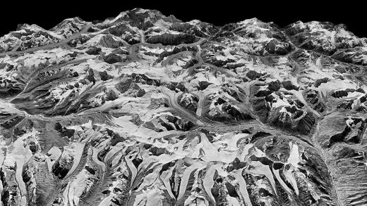
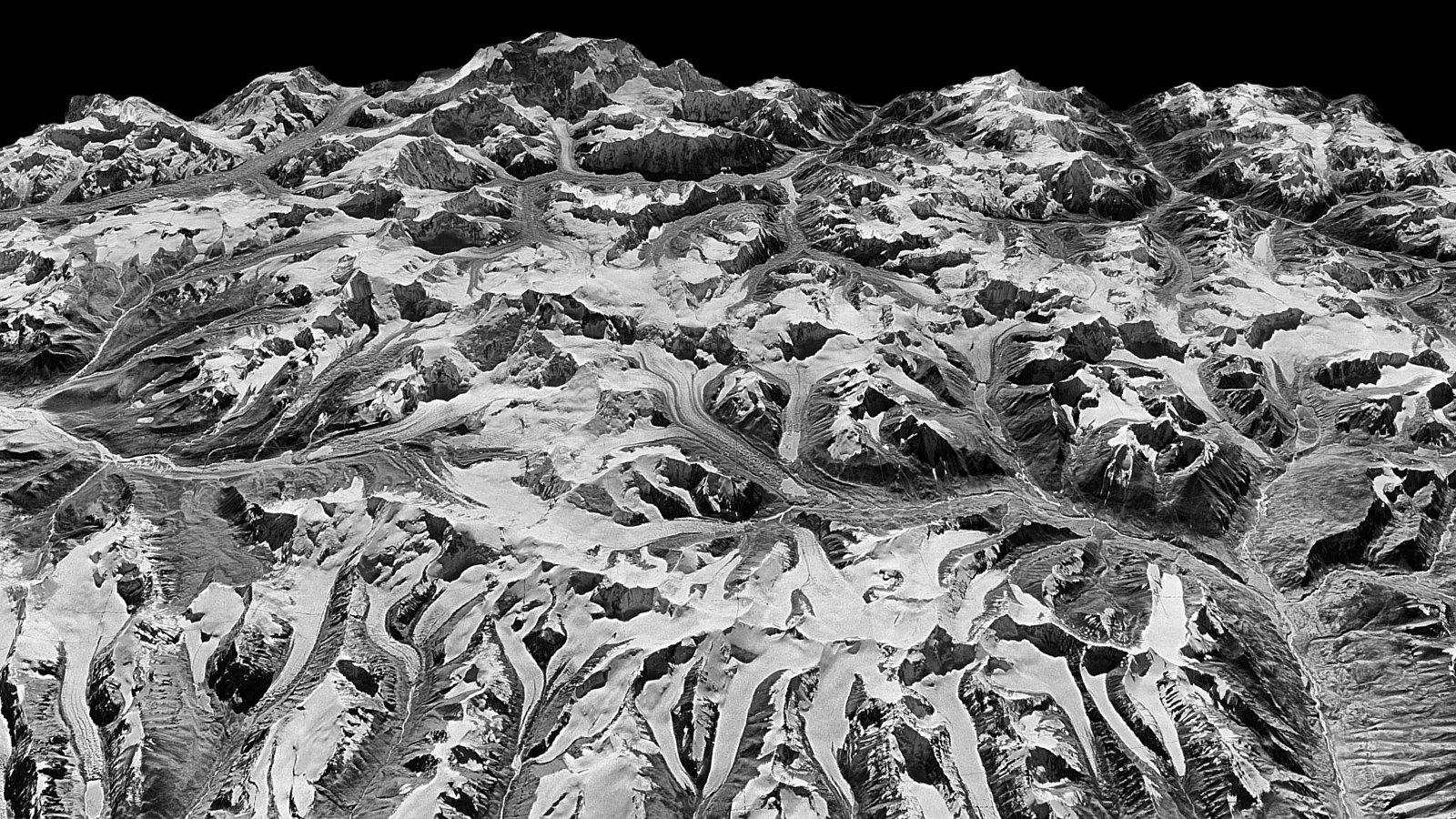
You don’t need cutting-edge satellite data to make sense of Earth’s changing climate. Researchers have published a study of melting Himalayan glaciers that takes advantage of 40 years’ worth of satellite imagery posted by the US Geological Survey, including declassified KH-9 Hexagon spy satellite photos from the 1970s and 1980s. The info not only let researchers cover a vast territory (about 650 glaciers over 1,240 miles), but made it possible to automatically create 3D models that reflected declining glacier elevations.

The team also collected historical temperature data to identify any correlations.

As for the findings themselves? They don’t look good. Scientists found that the rate of glacier loss between 2000 and 2016, 20 inches per year, was double what it was between 1975 and 2000. And while factors like precipitation and soot (which hastens melting) affected the results, co-author Summer Rupper told NPR the melt rate was consistent across every glacier. Temperature increases were the dominant force, to put it another way.

The satellite data will help understand warming in the region and could reinforce calls to limit global temperature increases. If the rate doesn’t slow, it could have significant consequences for the region that include flooding from meltwater lakes, landslides and unpredictable water availability for significant parts of Asia. The satellite snapshots aren’t just nice to have, then — if there’s appropriate action, they might save lives.

Engadget RSS Feed

(10)