How drones and satellite images are measuring the forests used for carbon offsets
For someone who owns forested land, carbon offsets give a financial incentive not to cut down trees. Other businesses that are struggling to reduce emissions can pay to keep the trees standing and sucking up carbon from the atmosphere. Offsets for planting trees are another significant way to fight climate change: Done at a massive scale, tree-planting could cancel out a decade of emissions.
Many companies are ready to pay for these offsets. The challenge, though, is tracking what’s happening in forests around the world. Right now, in order to estimate the carbon-storing value of a particular piece of forest, teams from a verification company have to hike into the forest and wrap a tape measure around each tree to calculate the width, use a laser to measure height, and manually count how many trees are in each plot. A new startup is developing tech to make these calculations automatically.

“The market is not growing fast enough–not because of lack of funding or lack of political will, but for lack of good tools,” says Diego Saez-Gil, cofounder of Pachama, a startup in Y Combinator’s current cohort that is building a new, technology-verified marketplace for forest carbon offsets.

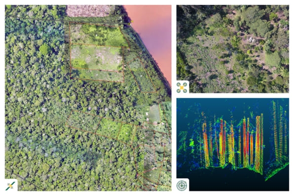
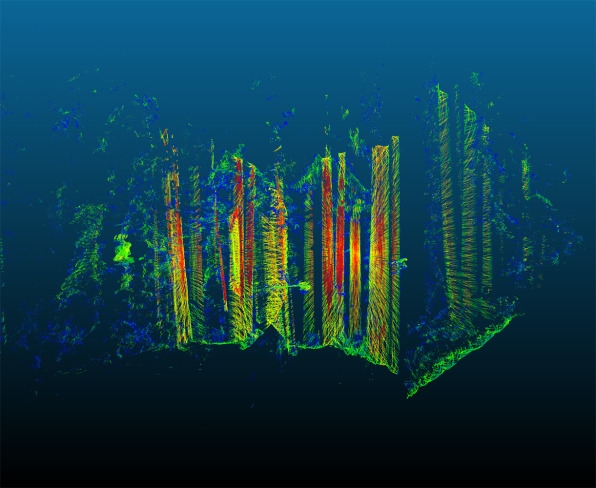
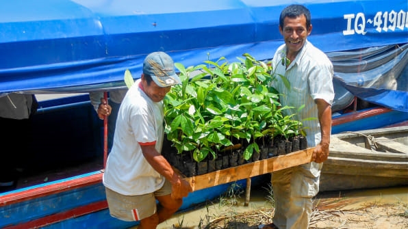
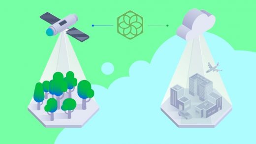
The company uses machine learning on a combination of satellite, drone, and lidar images to calculate the size and volume of trees, and then estimates how much carbon those trees store. In a current pilot in the Amazon in Peru, it’s working with the nonprofit CaminoVerde and scientists to compare its measurements with traditional methods. It’s also working with a handful of tech companies in the pilot, including Y Combinator, that are buying the offsets to test that piece of the process.

It’s something that could scale up relatively easily, and can become increasingly detailed as more satellite companies launch nanosatellites that can provide daily images that include one square meter per pixel. “Imagine a moment in which you have a one-meter definition of every forest on the planet on a daily basis,” says Saez-Gil. “You can actually be very, very precise. You can identify someone who’s cutting down a tree with one day of notice. That will make the system very reliable and will bring a lot of accountability to the market.”
The startup plans to launch a marketplace that will connect carbon offset sellers and buyers later this year, helping solve the additional problem that high-quality offsets can be difficult to find. It aims to help drive billions of additional dollars from companies and governments to forest projects. There are 2 billion hectares of land on the planet where forests can be restored, Saez-Gil says, and that could help play a major role in recovering the carbon that humans have pumped into the atmosphere.
“We don’t need to invent any new technology–nature has given it to us,” he says. “It’s called photosynthesis and trees, and with that, we can solve climate change. I had a moment in which I was hopeless about climate change. But when I saw the numbers of the potential for reforestation on the planet, and how that can actually remove carbon from the atmosphere, I was like, okay, we can make this happen. It’s just about making the incentives work.”
(54)


