How Far Can You Get In 5 Minutes On A Bike? This App Will Tell You
Bike Citizens shows that a bike can often be the fastest way to get somewhere (and also the healthiest and most environmentally friendly).
For the 100 million Americans who ride a bike each year, most still think of it as recreation—something to do on a lazy Saturday morning rather than a way to quickly run an errand. A new mapping app was designed to show that biking might be a more convenient choice than getting in a car.
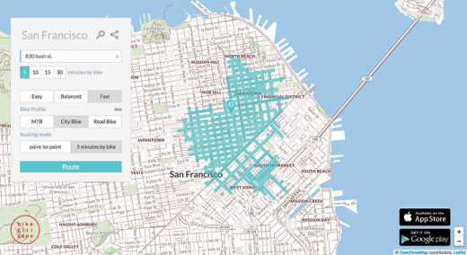
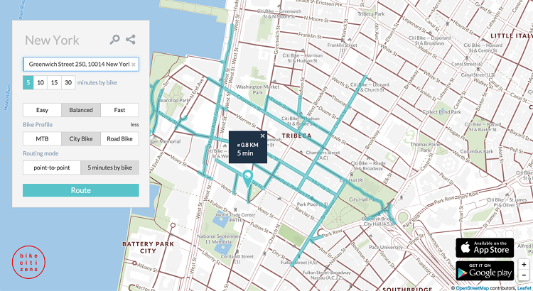
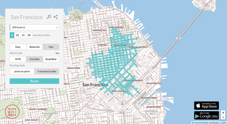
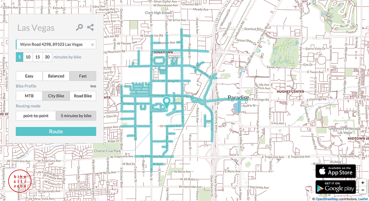
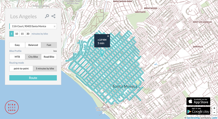
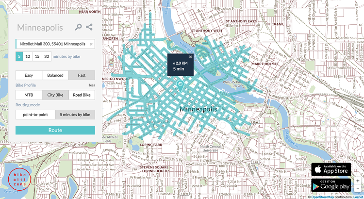
Click on a point on a city map, and the Bike Citizens app will show exactly how far you can ride in specific amounts of time. From downtown Brooklyn, and in just five minutes, a fast cyclist can make it to six different neighborhoods in the borough, and across the Brooklyn Bridge into Manhattan. With half an hour to spare, someone in the middle of San Francisco could make it anywhere in the city.
“We wanted to prove that one should never underestimate the possibilities the bike offers,” says Johanna Kolb, project manager for the Austria-based Bike Citizens. “Waiting for public transport or searching for a vacant parking lot can take a lot longer than five minutes. So we also wanted to show that in this time you could already cover a considerable distance by bike.”
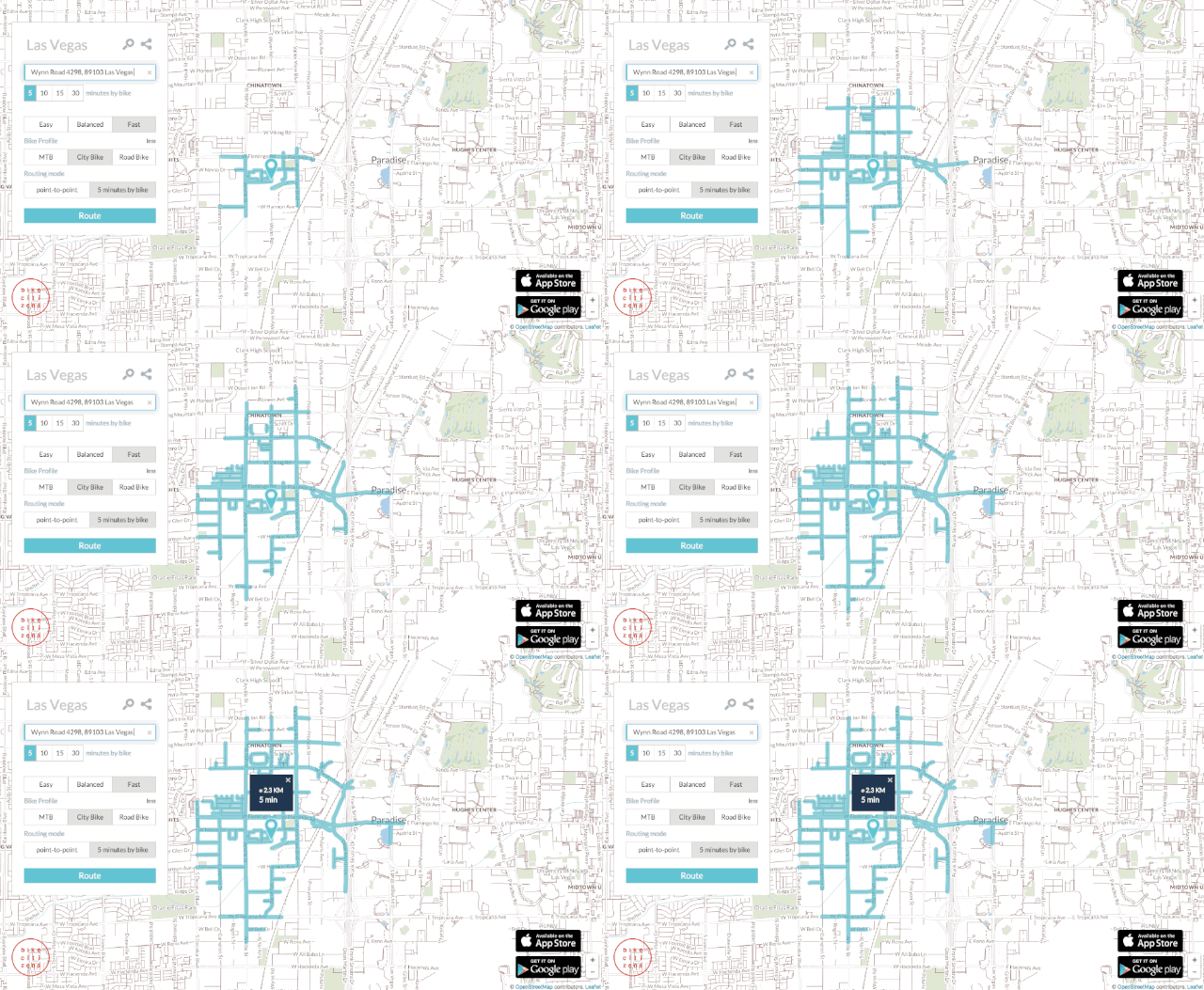
A similar app shows just how little distance you can cover in a car, while another shows public transit.
The Bike Citizens app first launched in Europe and Australia, and now the team is starting to roll out maps for cities in the U.S., beginning with New York and San Francisco.
It can double as a tool for urban planning, pointing out weak spots in a city’s cycling infrastructure. “For example, if you see that you can go north very far, but south almost nowhere, there might be a connection or bridge missing,” Kolb says.
But the main purpose of the app is to vividly illustrate how useful a bike can be, so someone headed out the door in a hurry won’t automatically choose to drive. “We want people to rethink their mobility behavior, and we think it’s easier to convince somebody with a simple visualization, instead of using 1,000 words to explain how healthy and efficient cycling is,” she says.
[Cover Photo: Flickr user Matt Jiggins]
Fast Company , Read Full Story
(45)

