Inside the effort to map the world’s dying coral reefs from space
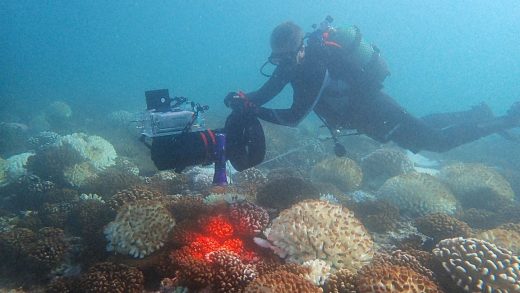
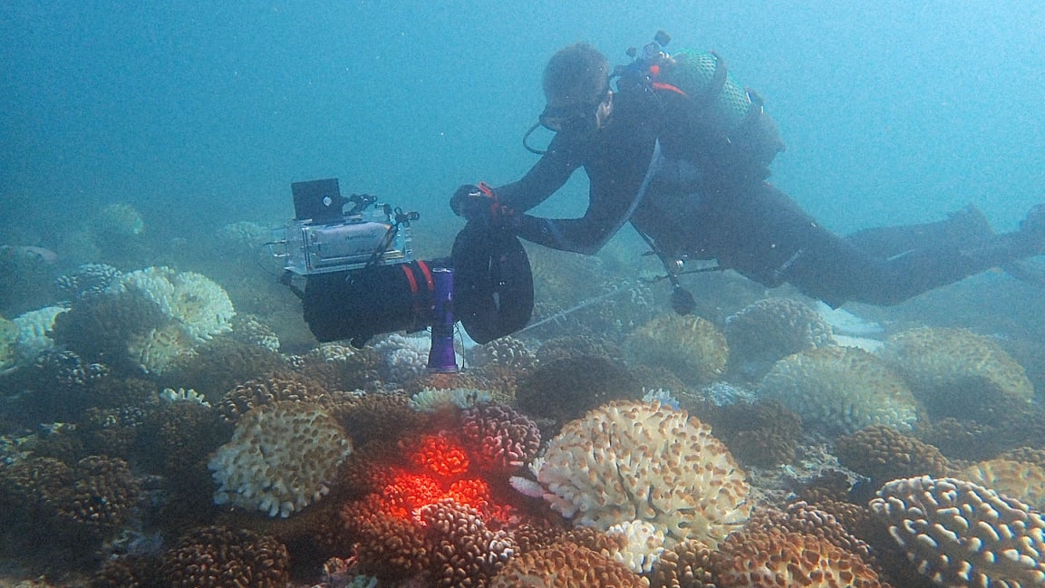
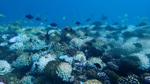
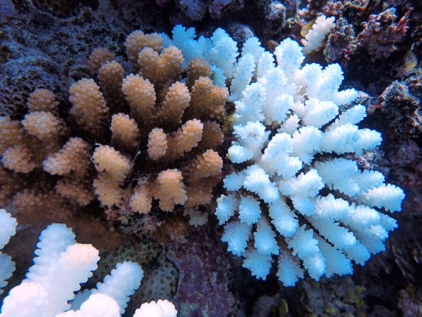
Off the east coast of Australia, the Great Barrier Reef stretches for 1,400 miles. It’s the largest coral reef in the world and long formed the backbone to one of the most complex and diverse natural ecosystems on the plant. But since 2016, half of the coral in the Great Barrier Reef has died. An oceanic heat wave in 2016 killed the algae that live in the coral and provide its nutrients, leaving behind starved coral that to the human eye was bleached, totally drained of color.
Coral bleaching is both a symptom and indicator of significant upsets in marine habitats and is a phenomenon that’s becoming far more common as oceans warm due to climate change. But it’s often hard for scientists to detect bleaching events until they’re already underway—and it’s even more difficult to take steps to mitigate them in advance.
But a new and groundbreaking ocean mapping tool is giving scientists a way to do just that. Called the Allen Coral Atlas and launched by Vulcan, Inc., the platform draws on high-resolution global satellite imagery captured each day by the company Planet, which was founded by three former NASA scientists. Planet’s fleet of over 100 tiny satellites circles the globe every day and gather images that are stitched together to form a complete picture of the globe. A team of scientists at Arizona State University then uses an artificial intelligence tool they created to “clean” the images by electronically removing elements like atmosphere and seawater that block the view of the ocean floor (the imagery captured by Planet’s satellites is high-resolution enough to deliver this level of detail). Then, the images are passed off to a team at the University of Queensland, which analyzes them to understand the features of coral reefs across the globe and consequently be able to detect when they’re undergoing changes, like bleaching. The National Geographic Society takes that information and acts as the public-facing arm of the Allen Coral Atlas, consulting with governments and decision makers about how to apply the data to make the biggest impact on conservation.
All the players in the Allen Coral Atlas—Vulcan, Planet, ASU, University of Queensland, and the National Geographic Society—”are five pieces of an interlocking jigsaw puzzle,” says Andrew Zolli, vice president of global impact at Planet. “The picture doesn’t emerge unless we’re all there.”
Planet now possesses a vast trove of visual data on the planet. But data alone, Zolli says, won’t solve the earth’s problems. “The challenge is how we translate data into action,” he says. The partnerships with researchers and advocacy are key to the Allen Coral Atlas, whose aim is to both document the evolving state of the world’s coral reefs and ensure that there’s action taken to protect them as swiftly as possible.
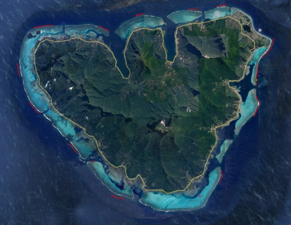
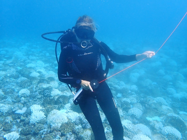
The first step, which the Allen Coral Atlas has carried out for approximately 2% of the world’s coral reefs, is to map the current state of their habitats. By the end of 2020, the team believes they will have 75% of the world’s reefs mapped. Corals are complex habitats, says Chris Roelfsema, senior research fellow at the University of Queensland, and each has and is surrounded by a particular set of features, from other marine species, to sediment, to the algae that grows on coral, to vegetation like mangroves, which often grow in the water above coral. Roelfsema’s team photographs these features up close and then feeds the images into an AI, which then trains the Allen Coral Atlas algorithm to identify those features in the Planet images. If there’s a sudden disruption in the sediment around coral, that might indicate a ship dredging the habitat. A loss of algae would indicate a bleaching event. The introduction of foreign toxins to the coral habitat might indicate a harmful chemical or oil spill.
“We want to generate knowledge of changes like bleaching or ship dredging by looking at reefs every day,” says Greg Asner, director of the Center for Global Discovery and Conservation Science at ASU. “Something like a ship grounding is an actionable event—if we detect that in our system, we could intervene.”
Locating the areas where reefs might face the most threat, says Helen Fox, senior director at National Geographic Labs, could help inform policies around ocean protection strategies. National Geographic has been involved creating marine protected areas—regions of water where human activity is restricted—for several years and works with governments to help them plan out how to manage and protect their water resources. Especially for island or coastal communities, it’s a complicated exercise to figure out where they can fish to support their economies and where they need to enact preservation efforts. The government of Mozambique, Fox says, is undertaking a marine spatial planning initiative that the Allen Coral Atlas could be instrumental in informing.
The Allen Coral Atlas is designed to give governments, researchers, and decision makers visibility into ecosystems that very few people will encounter face-to-face but that are incredibly threatened by activities on land. Climate change and human disruption have caused deep damage to the world’s reefs, but the team behind the Allen Coral Atlas knows that the ecosystems have an enormous capacity to regenerate if properly supported and cared for. Asner shared how he and a team of researchers ventured to the northern Marshall Islands in 2018 to examine reefs that had been degraded as the result of nuclear testing in the 1950s. Nearly 70 years later, they found a thriving habitat. The Allen Coral Atlas team’s hope is that in the future, their mapping tool could prevent harmful events like nuclear testing, or more commonplace occurrences like overfishing, from harming reefs to such an extent in the first place. And for those reefs that have been harmed, the tool could guide scientists as to where they should target their rehabilitation efforts. “You can’t fix what you can’t see,” Zolli says.
(44)

