Military maps are about to get smarter with help from Esri
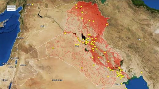
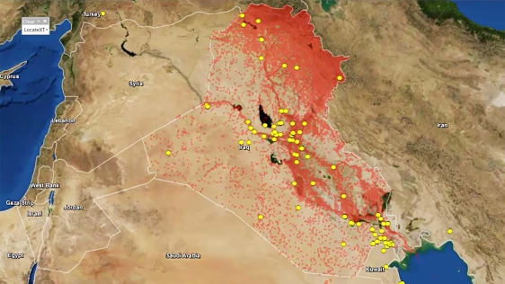
Spatial-analytics firm Esri is looking to supercharge its mapping capabilities. The company said today it has acquired location data-extration tools from ClearTerra, a company that specializes in geospatial software products. The tech, LocateXT, will allow users of Esri’s mapping platform to more easily extract geographic coordinates from “unstructured” textual data—like emails or intelligence briefings—and instantly generate maps with the information. Esri says the new capabilities will especially benefit organizations in defense, public safety, and intelligence, which tend to deal with large amounts of unstructured data.
Unstructured information typically presents a challenge for geographic information systems, because it is not organized in a pre-defined model.
Per the announcement:
“ClearTerra LocateXT technology allows analysts to rapidly scan through documents without having to spend hours reading, copying, pasting, and running spreadsheet formulas, placing the results instantly into geospatial features.”
Esri’s maps have many uses: I wrote recently about how Esri’s mapping software is helping families affected by the opioid crisis create digital memorials for loved ones who have passed away.
Fast Company , Read Full Story
(17)

