Stare into an active volcano with Google Street View
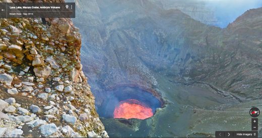
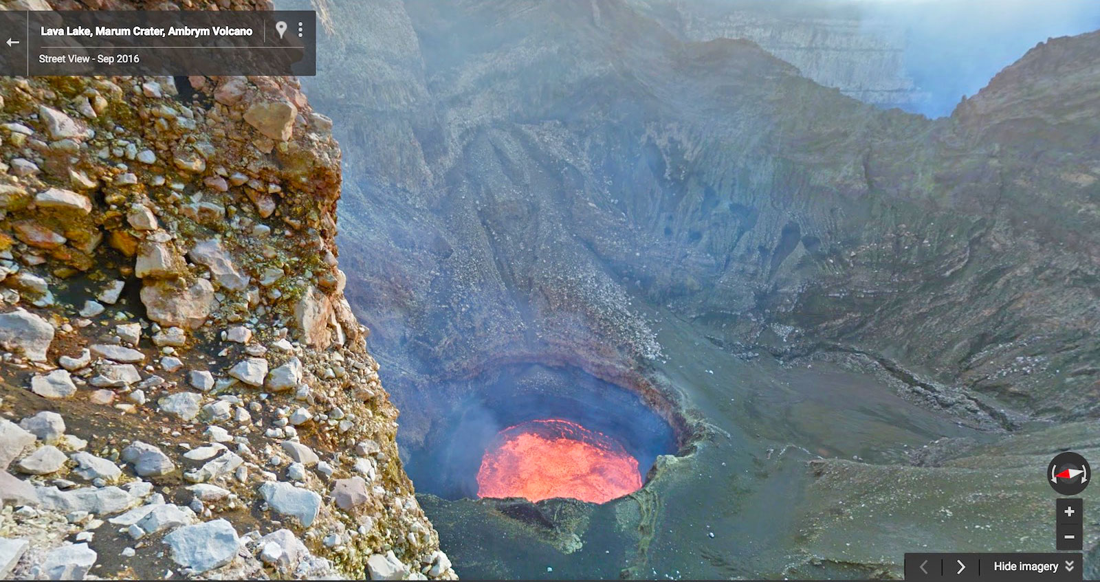
Standing next to a boiling lake of molten rock the size of two football fields has got to be awe-inspiring, but it’s also pretty damn dangerous. Google partnered with two explorers to capture images of one such volcano as they rappelled down the walls of the Marum crater on Ambrym, an island a thousand miles off the coast of Australia. The team carried a Street View camera during their journey to let you see this natural wonder with Google Maps.
“Standing at the edge and feeling the heat lick your skin is phenomenal,” team member Chris Horsley told Google. “I hope that by putting this place on the map people will realize what a beautiful world we live in.”
Chances are none of us will visit Ambrym or any of the other far-off places that you can simply click through to using any web browser. Still, it’s pretty darn impressive to check out the active volcano there, as well as the little village in the nearby rainforest.
If you’re looking for more amazing spots to check out, Google Street View has a ton of them, including historical and natural sites like the Faroe Islands near Norway, the Samburu National Park in Kenya, and many iconic African landmarks. Features like these make Google Street View a valuable resource for kids and adults alike, letting us all see the world without risking falling to our death in a lake of boiling lava. Of course, some might say that’s the best part.
(75)


