Texans are using the Whataburger app to track power outages in the wake of Hurricane Beryl
Texans are using the Whataburger app to track power outages in the wake of Hurricane Beryl
The regional fast-food giant’s app has proven to be a surprisingly accurate metric for judging the outages.
BY Lydia Gerike
When the energy company that supplies Houston with power couldn’t keep up with its outage map following Hurricane Beryl’s Monday landfall, some residents checked area outages through a different Texas institution instead: Whataburger.
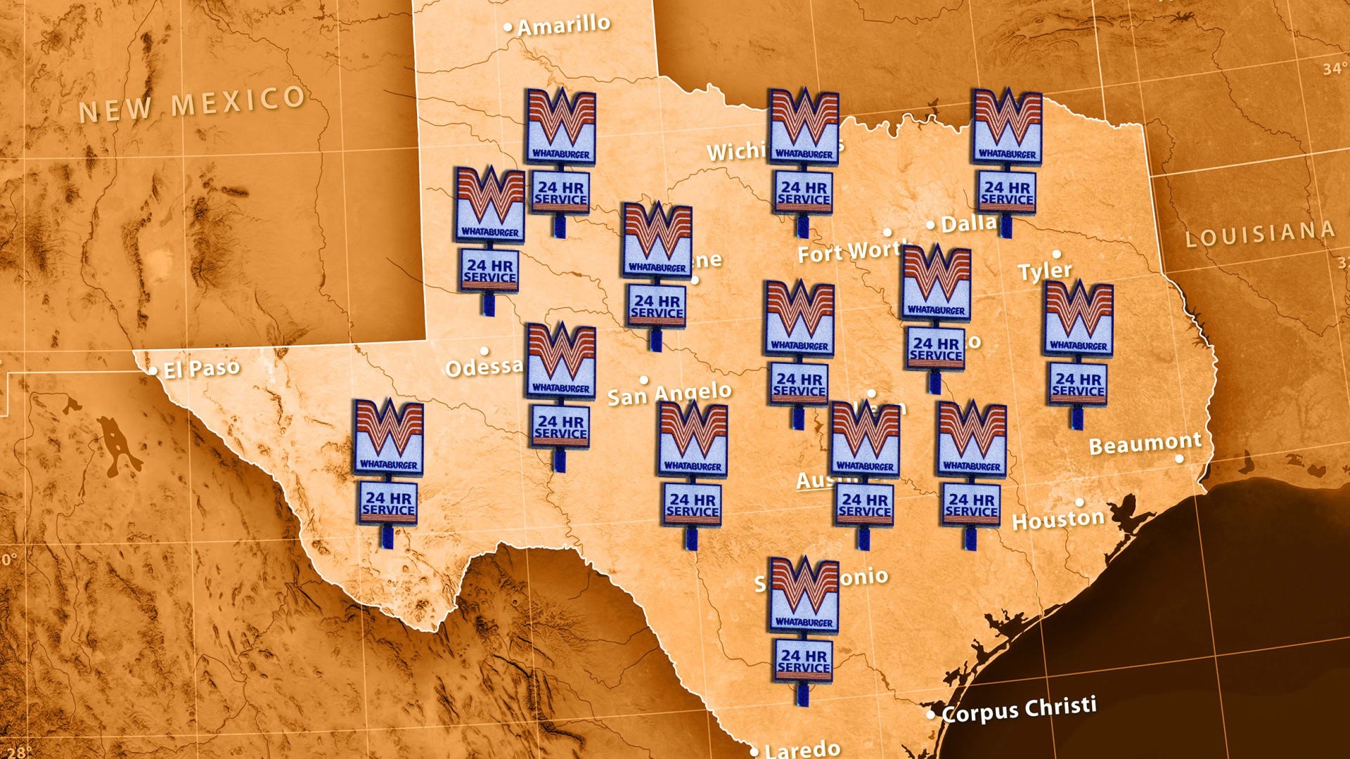
The regional fast-food giant’s app, which provides a map showing whether locations were open and operating, has proven to be a surprisingly accurate metric for judging the outages. While CenterPoint Energy, the electric company in Houston, provides information about the general number of outages, it currently has no map for customers to check exactly which areas are affected. And given that more than two million residents (1.6 million of whom were CenterPoint customers) were still without power on Tuesday, this is obviously a pressing problem.
X/formerly Twitter user BBQ Bryan’s screenshot of Whataburger’s app quickly went viral on Monday night, and multiple people replied to the post to say that indeed the status of their closest Whataburger location matched their own power-supply situation.
A staple of the Lone Star State, Whataburger began in 1950 in Corpus Christi in Southern Texas. It’s since expanded to over 1,030 locations across 16 states.
In a statement from Whataburger president and CEO Ed Nelson, provided to Fast Company, Nelson encouraged Texans to stay safe following the hurricane and only use Whataburger’s operating locations as a rough guide instead of official information.
“Whataburger is that friend by your side in good times and bad,” Nelson said. “We’re glad the Whataburger app has been helpful to Houston residents to understand where power is available in the city.”
Whataburger will bring its food truck to Houston next week to help residents in need and the company is also donating water via the Red Cross to area shelters, according to the statement.
Hurricane Beryl made landfall Monday evening as a Category 1 hurricane about 85 miles south of Houston, bringing 80 mph winds and severe flooding to the area, according to the Houston Chronicle.
Beryl was the earliest hurricane on record to become a Category 5. Rising ocean temperatures contributed to the surprisingly rapid intensification of a storm this early in the season. But it could become more common as climate change continues to affect natural disasters.
At least six people in Texas, one in Louisiana, and 11 in the Caribbean died from Hurricane Beryl as of Tuesday afternoon, according to the Associated Press.
Now downgraded to a tropical storm, Beryl is expected to affect Arkansas and continue traveling north, largely affecting most of the state of Indiana as well as Ottawa, Canada, later in the week.
ABOUT THE AUTHOR
(7)