These winter storm satellite images prove a “bomb cyclone” looks even scarier from space
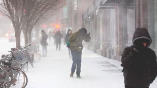
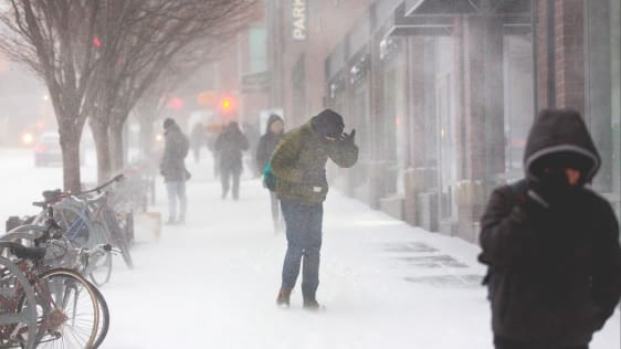
The East Coast has battened down its hatches and cleared its grocery-store shelves as a rare nor’easter with the delightfully evocative name of a “bomb cyclone” blankets the region and turns citizens into Hoth cosplayers. The storm is dropping snow and ice from Virginia to Maine, which, when combined with hurricane-force wind gusts and coastal flooding, make a great case for staying inside forever.
While the cities look like frozen hellscapes that could double as the setting for a reboot of The Shining (Jack was just working at home in a snow storm, after all!), somehow the storm looks even worse from outer space.
The new GOES-East satellite is capturing breathtaking images of #blizzard2018 battering the East Coast today. Find more images at https://t.co/j9tbl8VqpP pic.twitter.com/jVLUbaGl0N
— NWS (@NWS) January 4, 2018
Global perspective on just how expansive this Nor’Easter is… pic.twitter.com/F5OIfwB6ZE
— Jake Mulholland (@JakeMulholland1) January 4, 2018
Gravity waves propagating outward from deep convection associated with a #BombCyclone off the Carolina coast. @NOAA #GOES16 infrared imagery. pic.twitter.com/sxPfIih8OT
— NASA SPoRT (@NASA_SPoRT) January 4, 2018
Hey folks, GOES-E (formerly GOES-16) is in 1-minute rapid scan mode for today’s impressive, explosive, high-impact storm event / blizzard (images courtesy of @CoDWXData) pic.twitter.com/JwwL8CnoSw
— NWS Boston (@NWSBoston) January 4, 2018
This morning’s #GOESEast view of the powerful #BombCyclone as it batters the East Coast with heavy snow and strong winds. #noreaster #blizzard2018. More satellite imagery: https://t.co/mbgRYot60A pic.twitter.com/qblv8x5QcM
— NOAA Satellites (@NOAASatellites) January 4, 2018
Breathtaking view of our snowstorm seen from the GOES-16 satellite in Space as the sun rises. #Blizzard2018 pic.twitter.com/I68hWC3WoX
— WeatherOptics (@weatheroptics) January 4, 2018
(10)

