This $250,000 map could do everything from predict natural disasters to aid in rescue missions
When Malaysia Airlines Flight 370 went missing in 2014, investigators thought it had crashed in the middle of the Indian Ocean, about 1,200 miles southwest of Perth. Except the area was so deep and unexplored that in order to locate the wreckage, search teams had to map the floor of the ocean first.
In reality, about 80% of the ocean hasn’t been explored, at least not to the level of detail that could spot a plane wreck, let alone a smaller detail like the spire of an underwater volcano. Mapping the ocean floor can make navigation (and rescue search missions) safer and more efficient, but it can also help us track and protect marine life, predict natural disasters, and even understand the impact of climate change.
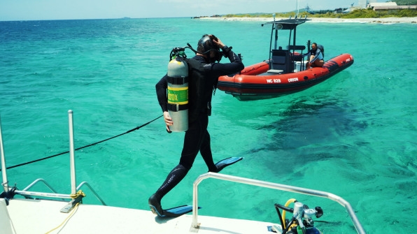
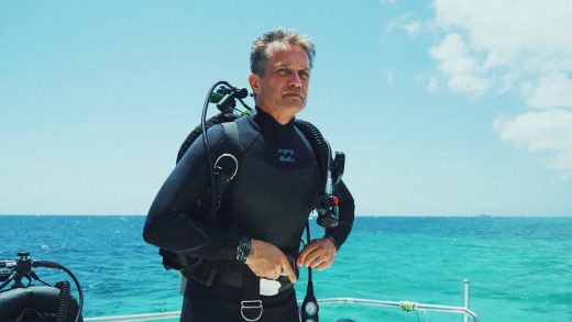
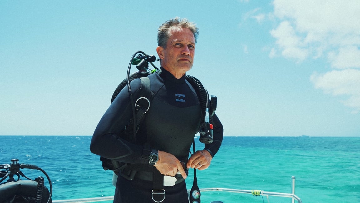
Last week, Fabien Cousteau—an oceanographic explorer and the grandson of legendary marine explorer Jacques Cousteau—completed the mapping of an entire marine protected area off the coast of Curaçao, where he plans to build the world’s largest underwater research habitat. Once all the data is processed, the 3D map will serve as an engineering study for the lab. It will also be another step in the decades-long movement to map the entire surface of the ocean floor.
The bottom of the ocean plays a critical role in our ecosystem. Underwater crests and valleys have an impact on ocean currents and weather patterns. Canyons and shoals on the seabed can influence the direction of a tsunami (and if we know the exact topography, we can better predict where a tsunami will do the most damage).
“Just like on land, where we’re doing lidar scans or looking at something as simple as a hiking trail map, it gives us a much better understanding of where we need to go,” says Cousteau. “The more granular the detail, the more we understand what kinds of minerals may be in an ecosystem, what kind of fauna lives and thrives there.”
3D maps would provide a window to the mysteries at the bottom of the ocean. “With enough detail, we can get a current picture of what’s going on in any particular place,” says Tomer Ketter, who cofounded the nonprofit Map the Gaps to grow awareness of ocean mapping, and who was involved in the Curaçao mapping alongside acoustical engineering company R2Sonic. “Everything is governed by the shape of the seafloor.”
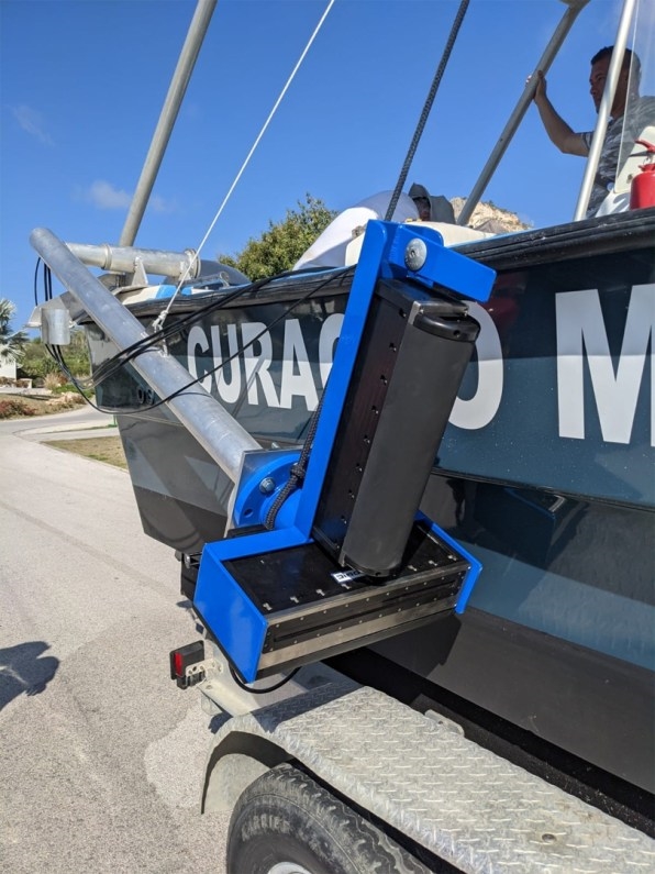
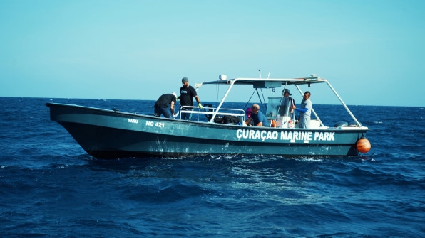
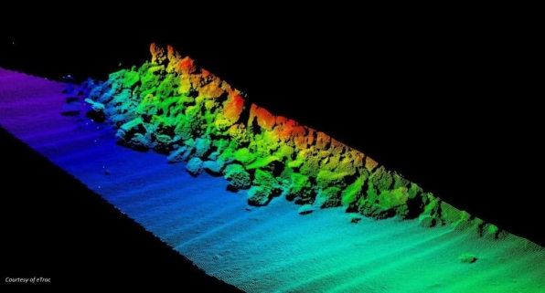
In Curaçao, the team mapped a surface area of 1,500 acres of reef and over 1,000 acres of inner bays. The operation took a week and cost a quarter-million dollars, funded by Cousteau’s Proteus Ocean Group, with equipment donations from R2Sonic and the Caribbean Research and Management of Biodiversity, which loaned the boat needed for the mapping.
[Image: courtesy eTrac/Proteus Ocean Group/Map the Gaps/R2Sonic]
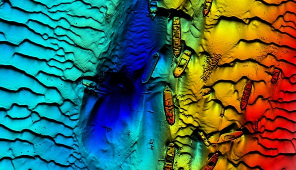
The ocean makes up 70% of the planet’s surface, yet much of it remains unexplored. While 100% of the ocean has been mapped, it’s just at a maximum resolution of around 3 miles, which means we can only see features larger than a 3-mile radius. (Unlike land mapping, we can’t clearly measure the seafloor directly from satellites because radio waves can’t pass through water).
[Image: courtesy Port of Brisbane Group/Proteus Ocean Group/Map the Gaps/R2Sonic]
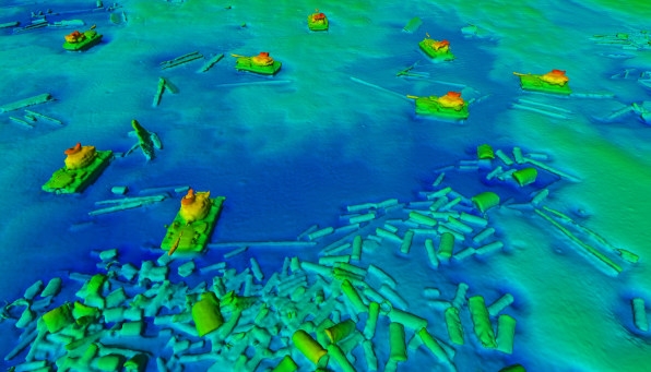
For now, only 10% to 15% of the ocean seafloor has been mapped at a resolution Cousteau considers “practical.” By comparison, 98% of the surface of Venus has been explored to a resolution of about 328 feet. And over half of the surface of Mars has been mapped at a resolution of 65 feet. “We don’t even know anything about our planet, and we’re talking about colonizing planets far away,” says Cousteau.
[Image: courtesy Proteus Ocean Group/Map the Gaps/R2Sonic]
To map the ocean floor in greater detail, we have to use sonars, which detect and determine the distance and direction of underwater objects by sending sound waves back and forth between the sonar and the destination (like a ridge on the seabed). In Curaçao, Cousteau and his team mounted sonars on a boat and mapped the bay at a resolution that ranges from 3 to 328 feet, depending on the depth. “It’s like a flashlight in a dark room,” says Cousteau. The wider the beam, the lesser the detail. “With our equipment, we can measure the water depth, as well as the morphology of the seafloor,” says Sabrina De Veylder-Pahwa of R2Sonic, the company that built the technology. “Based on that, we get a sense of what the seafloor looks like around Curaçao, which can inform decisions made about where Proteus will potentially be built.”
The site-mapping is the next step in Cousteau’s endeavor to build his underwater habitat in Curaçao (the initial concept for the structure was designed by Yves Behar.) After an initial round of funding that secured $1 million, Cousteau’s eyes are now set on the next $8 million (he estimates it will take $135 million to build the habitat and operate it for the first three years). “What happens to the ocean happens to us,” he says. “The only reason we exist is because we’re an oasis in space, and without the ocean, all life that we know doesn’t exist.”
(12)

