This Google Maps for nature shows the global potential for restoring forests
If you open a new map on a platform called Restor and click to outline an area of land anywhere on the planet, the site will tell you how much tree cover has been lost over time, how much carbon is stored in the soil, and how much could potentially be added if the area was restored.
The site also maps out tens of thousands of current restoration projects—72,000, so far—from forests to grasslands and coastal habitats. It connects organizations working on restoration to each other and to potential funders and volunteers. Built with the help of a network of scientists, it shares data about factors like rainfall and which kinds of trees grow in an area, and will eventually include details about which species are likely to grow locally as the climate changes. The project was founded at ETH Zurich’s Crowther Lab, where scientists developed it with help from Google.
“There’s a number of ways that we think Restor will act as an enabler and an accelerator,” says Clara Rowe, CEO of Restor. “Access to good data is one. We’ve heard of a lot of projects that have failed because they’re planting the wrong species in the wrong places, and then they have to start again.” If a project fails, the platform can help the community “learn from failures in a more systematic way,” she says.
Others might use the science-based estimates of how much carbon could be sequestered through restoration to get funding for new projects. Because the site, which is built on Google Earth Engine, uses satellite imagery, it can also show how vegetation changes over the course of a project. “Right now, funding is a big barrier,” Rowe says. “We know that there’s so much funding out there, and so many people who are going to be able to accelerate this through investments, but they don’t know where to go. They don’t know whether their investing is paying off, and doing on the ground monitoring is expensive.”

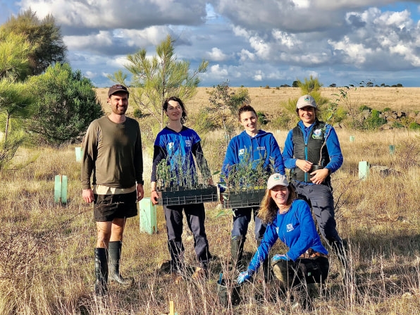
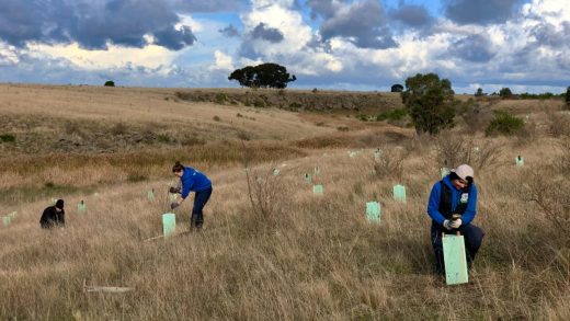
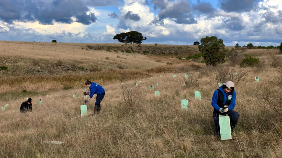
The platform is useful in several ways, says Janine Duffy, president of Koala Clancy Foundation, an Australia-based nonprofit that restores natural habitat for koalas, particularly the ability to estimate carbon capture for a site. “This is really exciting,” she says. “It means we can say to our donors how much our plantings have had a positive impact on climate change. This is a tool that is otherwise only available, I believe, by paid subscription to high tech software, which is financially out of reach of small organizations.”
Connecting restoration organizations in one place is also critical. “Revegetation is often best done by small community organizations—we have the close personal networks required to work on privately-owned land,” she says. “But that means that our voice is tiny, unless we work together.”
The potential for restoration is huge: Restor says that if the process is managed well globally, it could avoid more than 60% of species extinctions, sequester nearly 300 billion metric tons of CO2, and increase food security for more than 1.3 billion people. There’s also plenty of room for it to happen. In a previous study, the Crowther lab estimated that 2.2 billion acres (0.9 billion hectares) of land—outside of farms and cities—could theoretically be reforested. Even inside cities, there’s space to restore nature. On the site, anyone can use the tool to look at the potential for their own backyard or a local park. “People can really get a sense of, ‘Wait, there’s carbon in my neighborhood,’” Rowe says. “So there’s that broader change of, ‘Oh, I actually could be a part of this.’”
(48)


