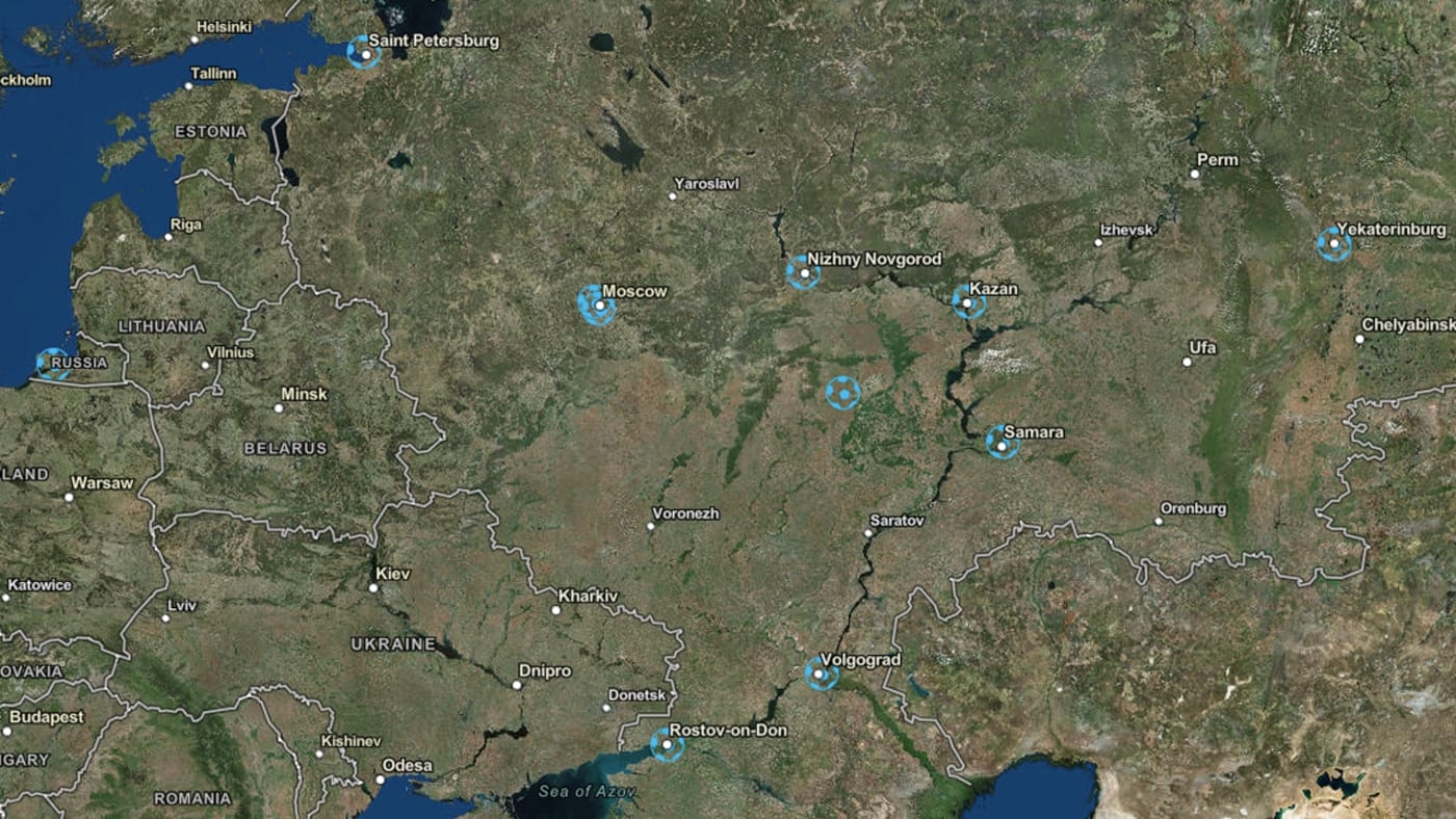
This map of World Cup stadiums shows super hi-res satellite images of all 12 Russian venues
Why be a fly on the wall when you can feel like a bird in the sky?
If you’re feeling a little down about not being able to make it to Russia for the 2018 FIFA World Cup, I have the perfect thing to lift your spirits. A new interactive map from spatial analytics firm Esri gives you a surprisingly close-up aerial view of all 12 stadiums being used for the World Cup soccer matches this year. The map uses imagery from DigitalGlobe and includes metadata about each venue—like seating capacity, where it’s located, and a little bit about its history.
It’s a fun substitute for soccer fans who don’t have the opportunity to gallivant all over Russia in real life. Just click the green “Start Here” button at the lower left-hand corner of the map to begin your virtual tour of the satellite images. You can learn all about, for instance, the Ekaterinburg Arena, which was built in 1953 and is home to FC Ural, one of Russia’s oldest football clubs.
Added bonus: You get to feel like you’re spying on Russia. Not to be petty, but it’s weirdly satisfying.
Check out the map here or via the embed below.
(17)


