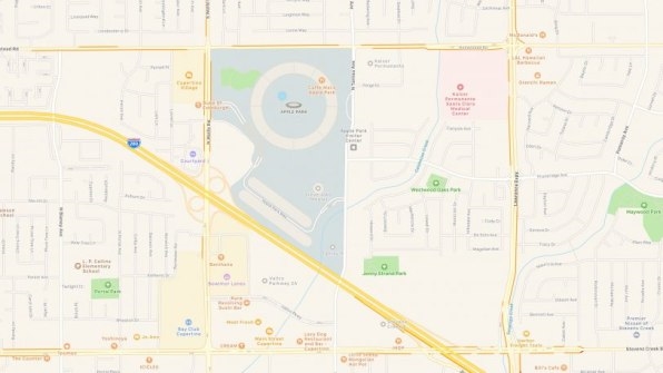
If you want something done right, do it yourself. If only Apple had remembered that six years ago when it launched Maps, which relied heavily on third-party data.
Flash forward to today and Google Maps—which arrived in the App Store only after Apple ditched its original Google-powered Maps app—is the sixth most downloaded app of all time on Apple’s own iOS platform. That is, a third-party app from a rival is preferred by many, many iPhone users over the mapping app that comes loaded on their iDevice.
If that’s humiliating to the Apple executives in charge of Maps—and it should be—they’ve earned it. The first iteration of the new Maps, which shipped with iOS 6 in 2012, was widely criticized for its inaccuracies, omissions, and bugs. Apple CEO Tim Cook even apologized for its inadequacies, which helped prompt the departure of software chief Scott Forstall and later led to the termination of another executive, Richard Williamson. Since then Maps has improved but problems have persisted.
The black eye could have been avoided had Apple acted more like Apple.

When Apple decided to build its own Maps six years ago, it had its share of trepidation about even getting into the mapping business. But the company could see back then that location data would be a key ingredient in much of the functionality it wanted to see in future apps and features. So it went forward.
Apple apparently wanted to get a working product together quickly, because it grabbed much of the base map and location data from third-party companies like TomTom and OpenStreetMap. As TechCrunch‘s Matthew Panzarino reports, Apple now sees that strategic decision as the root of Maps’ shortcomings. When a new road opened or an error was discovered, it took much too long for Apple to work through the third-party companies to make the necessary corrections.
And that initial decision to use third-party data runs counter to one of Apple’s most important guiding principles: own everything. The best example is Apple’s decision a decade ago to start designing the chips that run its software.
Now Apple is talking about a major refresh of Maps in which it relies on its own base map and location data, much of it gathered by Apple camera vans. Bloomberg reported in January that Apple had 27 of the vehicles on the road in Northern California.
Google, by contrast, owns not just the base mapping images but all the location data and imagery layered on top. Apple told Panzarino it started preparing for the launch of the Maps refresh four years ago.
“Apple needs to have some hubris to proudly talk about all of the steps it spent years taking with maps to basically catch up to Google Maps,” quipped Above Avalon’s Neil Cybart in a research note Monday. “Apple Maps 2.0 represents the mapping foundation that Apple needed from day one . . . it ended up taking six years to get to a public release.”
Apple had some understanding of the importance of mapping software back in 2012, but it can likely see far more now, with the advent of autonomous driving. Panzarino points out that the LiDAR cameras on Apple’a vans gather the kind of data useful not only for Apple Maps but also teaching autonomous vehicles to navigate roadways. The company may be collecting the mapping data needed for the software it’s reportedly building for autonomous cars.
If Apple is still collecting data in its own Northern California home base, it raises questions about the progress and timing of Project Titan autonomous car initiative. Cybart: “This sure doesn’t bode well for the presence of self-driving Apple cars on non-U.S. roads anytime soon.”
Regardless, Apple says its reboot of Maps will start to roll out this fall with an update to iOS 12. Maps will include the company’s new data for just the Bay Area at first, then expand to the rest of the U.S. over the course of the next year.
CORRECTION: An earlier version of this article implied that Google relied only on its own data to start Maps in 2005. In fact, it relied on NAVTEQ data.
(19)