Who will be impacted by Hurricane Florence? This map will tell you
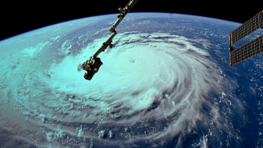
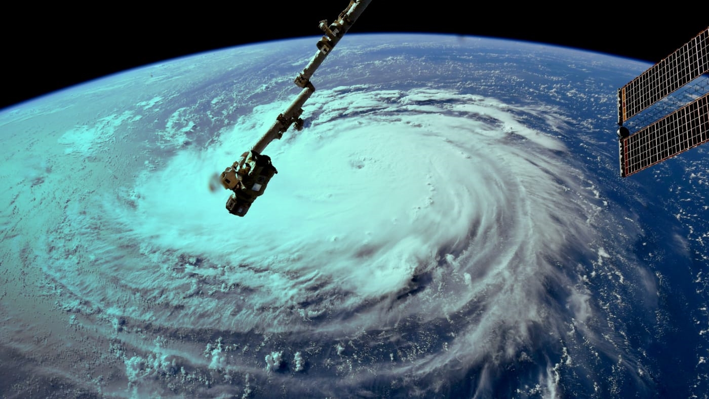
The East Coast of the United States is bracing for the wrath of Florence. The Category 4 hurricane is expected to hit land on Thursday, and will likely wreak havoc on at least the coast of North Carolina.
An interactive map from Esri plots Florence’s current and forecasted storm track along the Atlantic Ocean and onto the East Coast. It then calculates the amount of people who live within that area, and gives us a snapshot of who they are. For instance, the current storm projection says as many as 9.1 million households and 24.8 million people will be hit. Of those households, 1.4 million of them live below the poverty line–and the median household income is $51,000. Within that projected area there are 68,000 health and social services organizations.
While we won’t know exactly where the storm will go and what kind of damage it will bring until Florence hits land, this map gives us a sense of the scale of the potential destruction. It also is a good reminder that many of the people who will be impacted very likely have fewer financial resources at their disposal.
Esri says it will continue to update the map as the Florence’s course progresses. You can check it out here.
(27)


